Since the middle of the Heian period (794-1185), the Kumano Sanzan / Three Grand Shrines of Kumano (Kumano Hongu Taisha, Kumano Hayatama Taisha, and Kumano Nachi Taisha) in the southern Kii Peninsula has been widely worshiped, and many people used the "Kumano Kodo" as a pilgrimage route to these shrines.
In 2004, the Kumano Kodo was registered as a UNESCO World Heritage site, and many routes have been developed for walking.
Among the Kumano Kodo, the route from Ise to Kumano Sanzan is called Ise-ji, and was mentioned in "Tokaido Chu Hizakurige (a novel about the misadventures of two travelers on the Tōkaidō)".
As referred to as "Seven times to Ise, three times to Kumano”, in the Edo period (1603-1867), the Kumano Kodo was used as a pilgrimage route after visiting Ise Jingu Shrine.
There are a number of routes along the Ise Road, including the Matsumoto Pass overlooking the Kumano Nada (Kumano Sea), the Tori-toge Pass overlooking Maruyama-senmaida, and the flat Hamakaido walking along Shichiri-Mihama Coast.
The stone pavement that continues amidst the dignified Owase cypress trees is beautiful, and there is also a "Yonaki-jizo (night weeping Jizo)" along the way, which gives a taste of the atmosphere typical of Kumano Kodo.
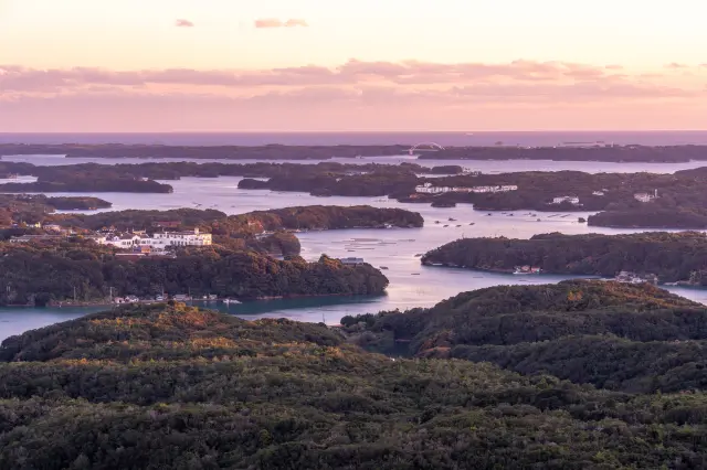
Departing from Michi-no-eki Miyama, enjoy the view of Owase City from the observatory at Magose Pass, then continue on to Mt. Tengurayama, which is a steep climb that offers a 360-degree panorama.
Magose Park, located down the pass, is famous for its cherry blossoms and is a gathering place for many visitors in spring.
Highlights
-
The tasteful stone pavement that has protected the pilgrimage route from the heavy rain that falls in Owase continues.
-
The trail to Mt. Tengurayama has some steep slopes and also requires climbing a ladder over rocks.
-
It takes more than two hours to reach the summit, so be sure to pack hiking shoes and clothing.