
Verified [Verified] denotes information that has been published with confirmation of its owing parties.
Mt. Chokai
A majestic mountain in the Tohoku region known for its wealth of alpine plants.
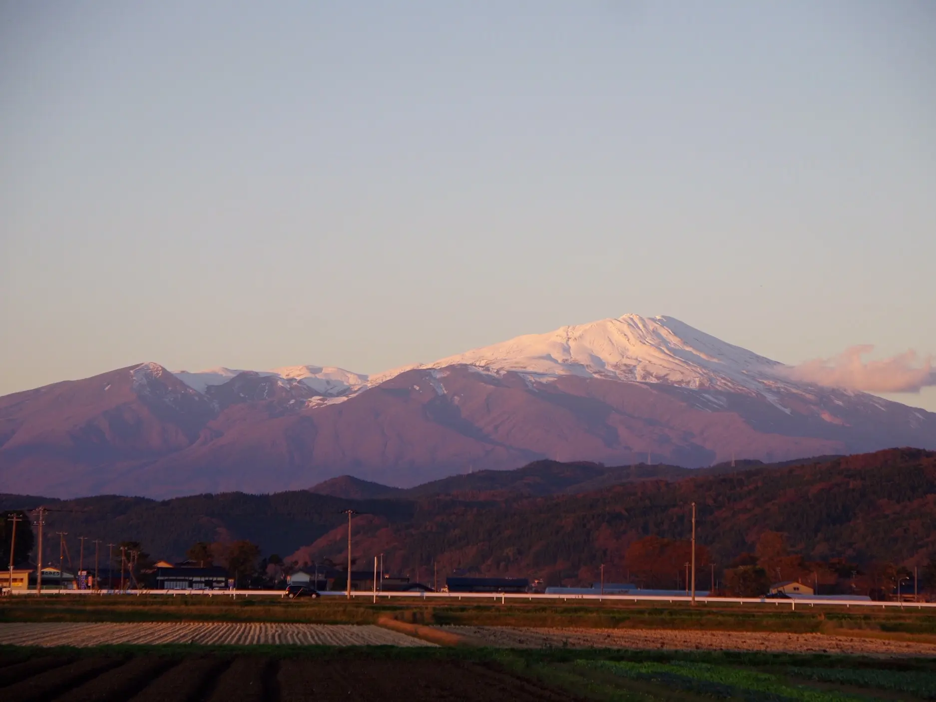
Rising along the border of Yamagata and Akita prefectures, Mt. Chokai is the highest mountain in Yamagata Prefecture. Standing 7,336 feet (2,236 meters) above sea level, it is one of Japan’s 100 Famous Mountains. Its majestic form has earned it the nickname “Dewa Fuji,” while its varied volcanic terrain is another distinctive feature.
The mountain’s slopes are rich in nature from base to summit. More than 200 species of alpine plants grow here, making it known as a treasure trove of alpine flora. The mountain also preserves a valuable ecosystem where mountain hawk-eagles and golden eagles breed. Hikers can take in not only the mountain scenery but also landscapes colored by alpine plants such as Nikko daylilies and Aleutian avens.
The Fukura Route, one of the mountain’s hiking trails, takes approximately 5 to 6 hours each way. Although the route begins with a steep climb, the trail becomes relatively gentle afterward, leading toward the summit with views of Lake Chokai and alpine plants below. The recommended hiking season is from July to October, with scenery ranging from summer alpine flowers to fall foliage.
Because Mt. Chokai is an active volcano, check the latest volcanic information from the Japan Meteorological Agency or another official source before hiking.
Highlights
-
Yamagata Prefecture’s highest mountain, rising 7,336 feet (2,236 meters) along the border with Akita Prefecture.
-
Nicknamed “Dewa Fuji” for its majestic form.
-
Home to rich natural surroundings and more than 200 species of alpine plants.
-
The Fukura Route offers views of Lake Chokai and alpine plants on the way to the summit.
-
As this is an active volcano, check the latest volcanic information before hiking.
Photos
-
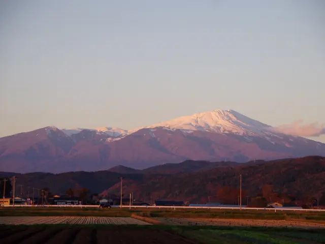
Mt. Chokai viewed from the Shonai Plain
-
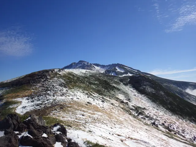
Lingering snow near the summit of Mt. Chokai
-
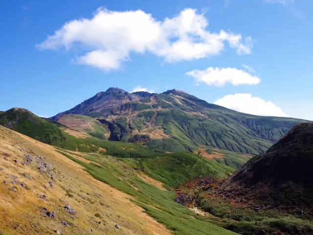
Come fully prepared with the proper equipment for a safe hike
-
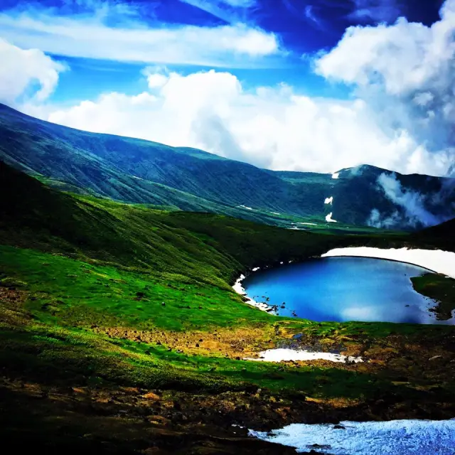
Lake Chokai viewed from the Fukura Route
Official FAQs
Frequently Asked Questions have been vetted and answered directly by each listing.
Q
Are foreign-language brochures, information signs, or other materials available? If so, which languages are supported?
Information signs are installed at the Yunodai trailhead in Japanese, English, Simplified Chinese, Traditional Chinese, and Korean, and at the Hokodate trailhead in Japanese and English.
Q
Is free Wi-Fi available in the area?
No.
Q
Are restrooms available?
Restrooms are available at the trailheads, including Fukura, Hokodate, and Yunodai. However, the restroom at the Odaira trailhead is unavailable during fiscal 2026. There is also a restroom at Kawarajuku on the Yunodai Route.
Q
Are there designated smoking areas?
Information on smoking areas at the individual facilities is unavailable.
Q
Are there any sightseeing attractions nearby?
Kamaiso Coast is a recommended nearby attraction, where visitors can see fresh spring water bubbling up through the sand and go swimming in the sea. Local souvenirs from Sakata are available at Sakata Yume no Kura. Farther south is Kamo Aquarium, a world-leading aquarium for jellyfish exhibits.
Reviews
Details
- Name in Japanese
- 鳥海山
- Postal Code
- 999-8521
- Address
- Fukura, Yuza Town, Akumi District, Yamagata Prefecture
- Phone
- 023-630-3173 (Greenery and Nature Conservation Division, Department of Environment and Energy, Yamagata Prefectural Government)
- Closed on
- None; snow accumulates in winter
- Hours
- Open for walking at any time
- Admission
- Free
- Access
-
To the trailheads:
1) Approximately 40 minutes by car from JR Yuza Station to the Fukura trailhead at Odaira
2) Approximately 40 minutes by car from JR Sakata Station to the Yunodai trailhead - Official website
- Official website (Japanese)