
Mt. Tateishi

Verified [Verified] denotes information that has been published with confirmation of its owing parties.

Mt. Tateishi

A popular spot where you can enjoy an easy hike and spectacular views of “Itoshima Blue.”

4.07 2

Last update :

Located in Keya, Mt. Tateishi is a low mountain with an elevation of 210 meters. It is one of the most popular mountains in Itoshima, where hikers of many skill levels can enjoy the trails, including beginners.

As you continue along the trail, the view gradually opens up and the path changes into a rugged rocky area. Taking in the beautiful Genkai Sea and Keya scenery known as “Itoshima Blue,” you will find a spectacular 360-degree panoramic view near the summit, including Keya no Oto, known as one of Japan’s three great basalt caves, and Iki Island beyond the sea with nothing blocking the view.

At Mt. Tateishi, you can enjoy hiking casually, as it takes Approx. 45 minutes from the trailhead to the summit even at a slow pace. While relatively easy for beginners to climb, there are many rocky areas, so sandals should be avoided, and comfortable walking shoes such as sneakers are recommended.

Highlights

  • A low mountain in Keya, Itoshima City, with an elevation of 210 meters.
  • Approx. 45 minutes to the summit, making it a popular and easy hike for beginners.
  • Near the summit, you can enjoy an unobstructed view of the scenery around Keya.
  • There are many rocky areas, so avoid sandals and wear comfortable walking shoes.

Photos

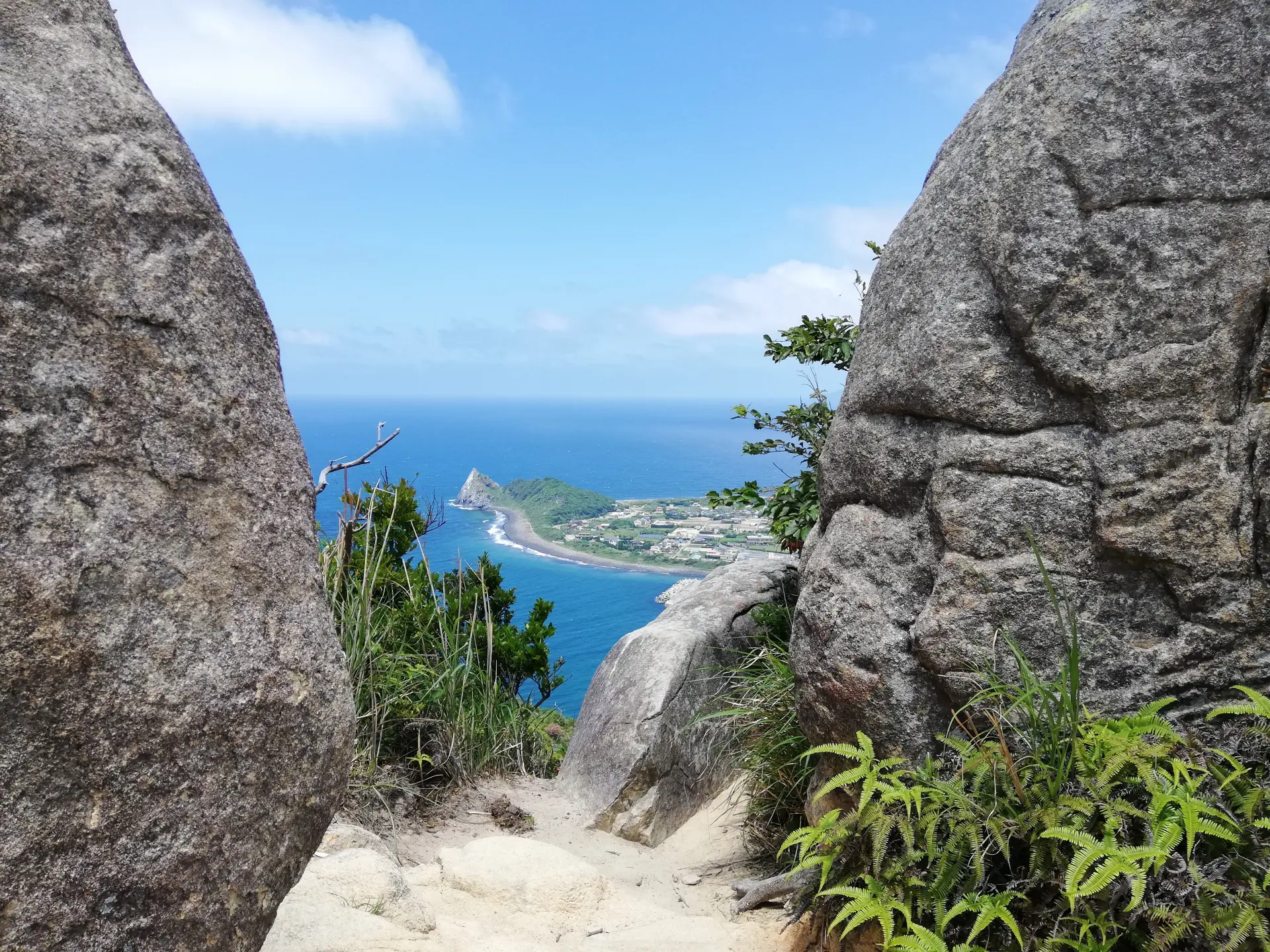
  • A low mountain, but with plenty of rocky areas that make the climb rewardingPhoto courtesy of: Itoshima City Tourism Association

    A low mountain, but with plenty of rocky areas that make the climb rewardingPhoto courtesy of: Itoshima City Tourism Association

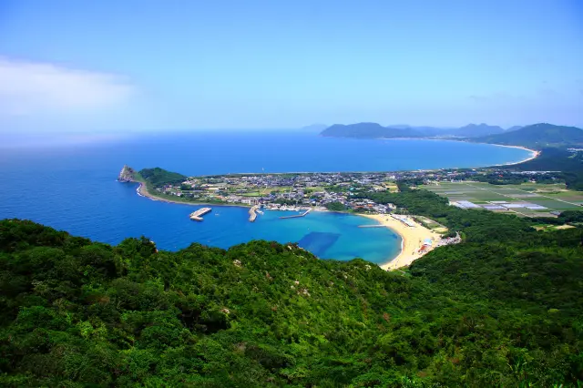
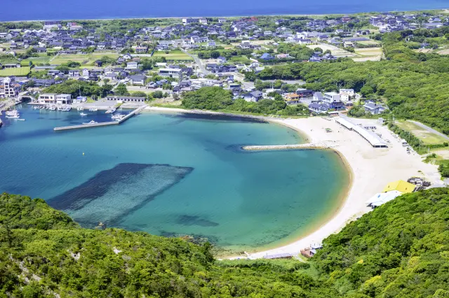
  • The sea of Itoshima spreading out below is beautifulPhoto courtesy of: Itoshima City Tourism Association

    The sea of Itoshima spreading out below is beautifulPhoto courtesy of: Itoshima City Tourism Association

Official FAQs

Frequently Asked Questions have been vetted and answered directly by each listing.

Q

Is free Wi-Fi available in the area?

A

No.

Q

Are there coin lockers?

A

No.

Q

Are there restrooms?

A

Yes.

Q

Is there a smoking area?

A

No.

Q

Are there tourist spots nearby?

A

Keya Beach, campgrounds, etc.

Reviews

2

Some reviews are AI-translated.

  • See More

    The hike isn’t too tiring, but the view from the top is awesome. You can look straight out at the ocean, and the weather really makes a big difference.

    It’s perfect for a half-day trip if you want a light hike without pushing yourself too hard. Great for walking, taking photos, and just relaxing.

  • See More

    This is basically an easygoing hiking trail. You get ocean views after walking just a bit, and the scenery is absolutely beautiful. Great for photos.

    The view from the top is wide open and super soothing. Overall, it’s a relaxing little mountain with beautiful scenery and no need to overexert yourself. Perfect if you want to see the ocean without hiking for too long.

Details

Name in Japanese
立石山
Postal Code
819-1335
Address
Keya, Shima, Itoshima City, Fukuoka
Phone
092-322-2098 (Itoshima City Tourism Association)
Closed on
Open daily
Hours
Open all day
Admission
Free
Access
30 minutes by bus from JR Chikuhi Line Chikuzen-Maebaru Station, get off at the “Keya” bus stop, then walk 60 minutes to the summit
Official website
Official website (Japanese)